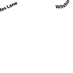
8 R ROLFES LN
Owner Information
REES ALEXANDER S
8R ROLFES LANE
NEWBURY, MA 01951


Property Details
8 R ROLFES LN is classified as a Single Family Residential (Camp,yrrnd).
The primary structure on this property was built in 1965. There are 1,260ft2 of built area within this property. There is 1,260ft2 of residential/living space within this property. This property is listed as having 4 rooms.
8 R ROLFES LN is valued at $492,200. The land is valued at $269,800 and the structures are valued at $221,900. There is an additional valuation of $500 on this property.
The most recent deed for 8 R ROLFES LN is recorded at the local registrar in Book 37484, Page 338. 8 R ROLFES LN was last sold on Tuesday, April 30, 2019 for $515,000.
Assessment data from fiscal year 2022.
Flood Data
According to the FEMA National Flood Hazard Layer, this property does not appear to be in a flood zone. It may also be in an area not yet reviewed. Nonetheless, confirm this information prior to taking any action.
To view the flood hazards around this property, create a FEMA "Firmette" Map of the area around 8 R ROLFES LN.
Broadband Internet Providers
| Provider | Type | Bandwidth (mbps) | |
|---|---|---|---|
| Verizon New England Inc. | DSL | 10 | 1 |
| VSAT Systems, LLC. | Satellite | 2 | 1 |
| HughesNet | Satellite | 25 | 3 |
| GCI Communication Corp. | Satellite | 0 | 0 |
| Comcast | Cable | 1000 | 35 |
| Viasat Inc | Satellite | 100 | 3 |
Broadband service provider data from December 2020.
Adjacent Properties
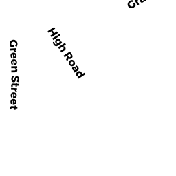
- 45 HIGH RD
Developable Residential Land owned by BOUTON TTEE KATIE S - 8 ROLFES LN
Single Family Residential owned by PANACCIONE JOHN - 10 ROLFES LN
Single Family Residential owned by SESTO CARL W - 8 R2 ROLFES LN
Single Family Residential owned by JAFFE MICHAEL - 16 ROLFES LN
Single Family Residential owned by LOWELL TE VIRGINIA H - 12 ROLFES LN
Single Family Residential owned by CARROLL TE MELINDA E